Aug. 20, 2011 - Saturday
From Denver to state the line
There are 51 photos on this page. It may take you a while to view them all
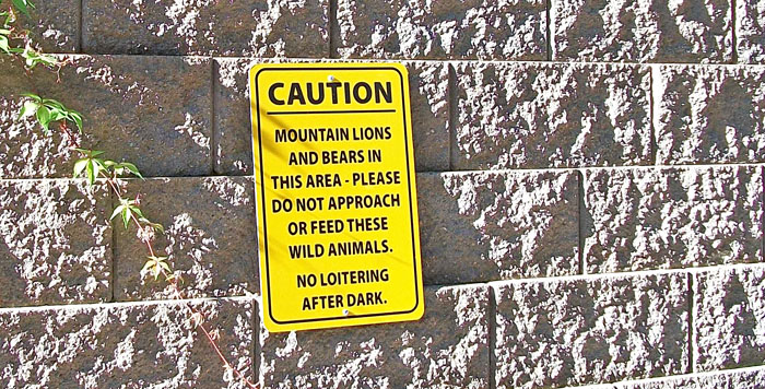
There was a patio outside the breakfast room of the hotel we stayed at near Denver last night. So we ate breakfast outside. Before we left, I took a photo of this sign on the wall. We've read of wild animals attacking out here in the west.
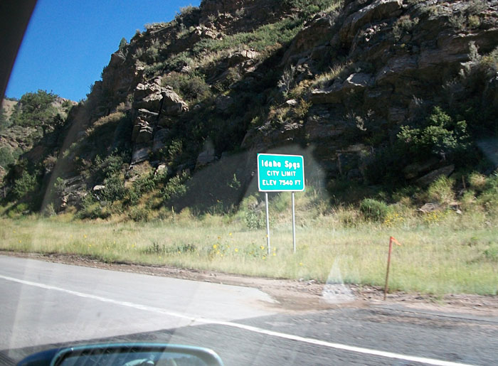
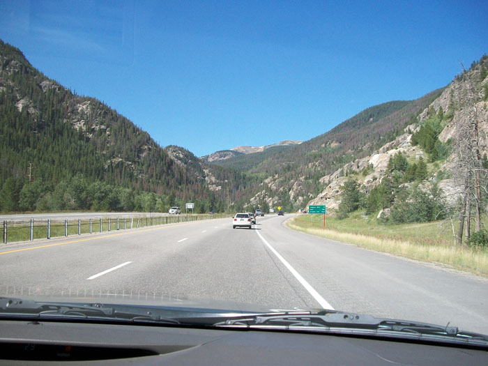
The altitude began to increase. At Idaho Springs we were 7,540 feet up.
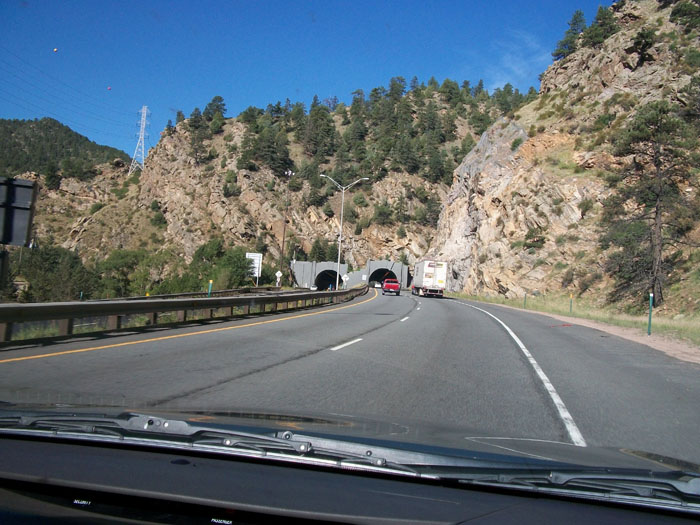
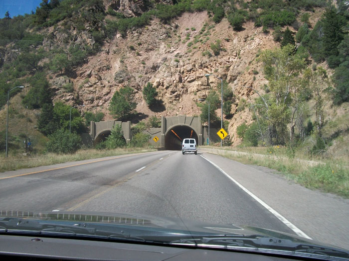
There are many tunnels on I-70. Some are rather famous.
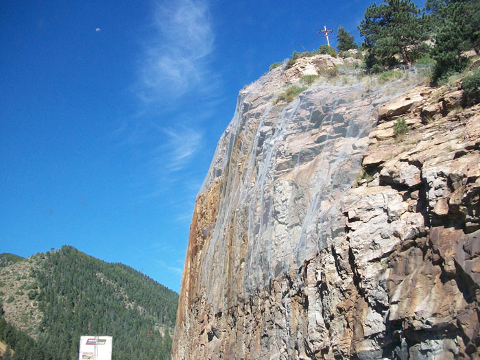
To help keep cars from being crushed by falling rock they placed this wire netting over the face of the cliff.
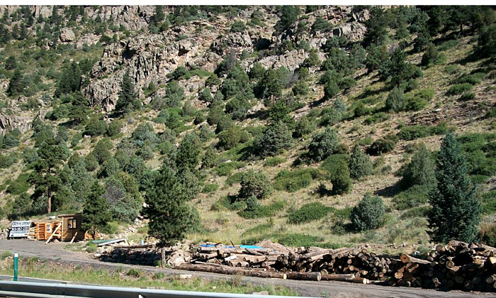
We saw a lot of timber being used for buildings out here but this is the only place we saw timber stacked.
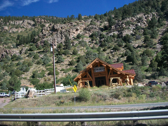
Here's what the finished product looks like.
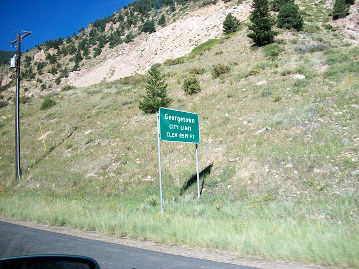
Still going up. Georgetown is at 8,519 feet.
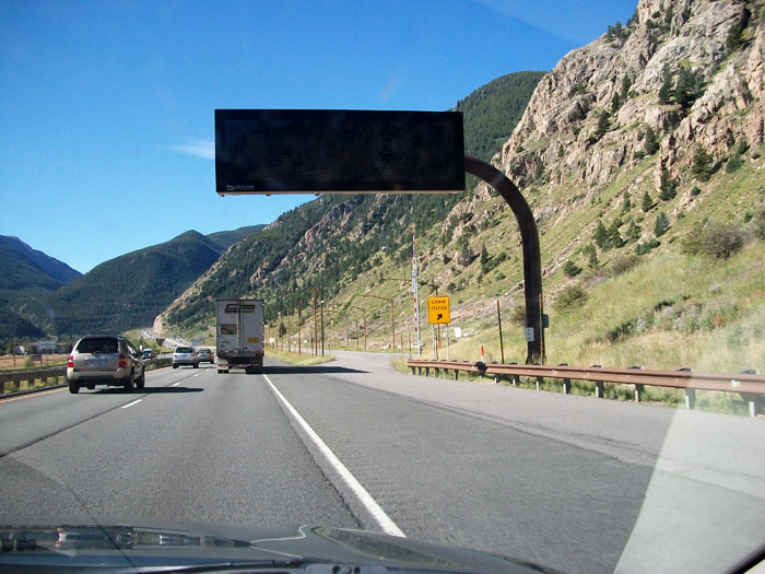
Because of icy roads much of the year, tire chains are required by law during certain months. This is called a "chain station" where drivers can pull off and install their chains.
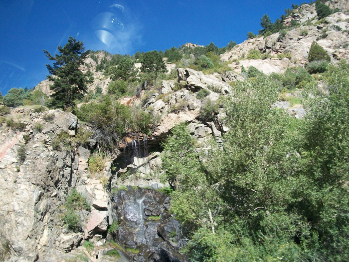
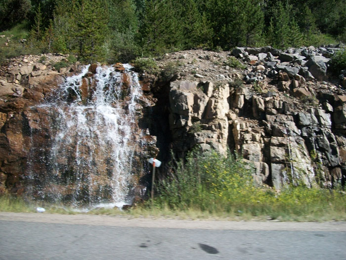
We saw a couple of really pretty water falls. Since most of my photos were taken through the window of the car while travelling at highway speeds, please forgive the glare and car interior.
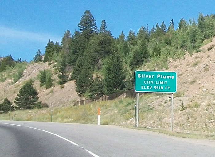
Still going up. Silver Plume is at 9,118 feet.
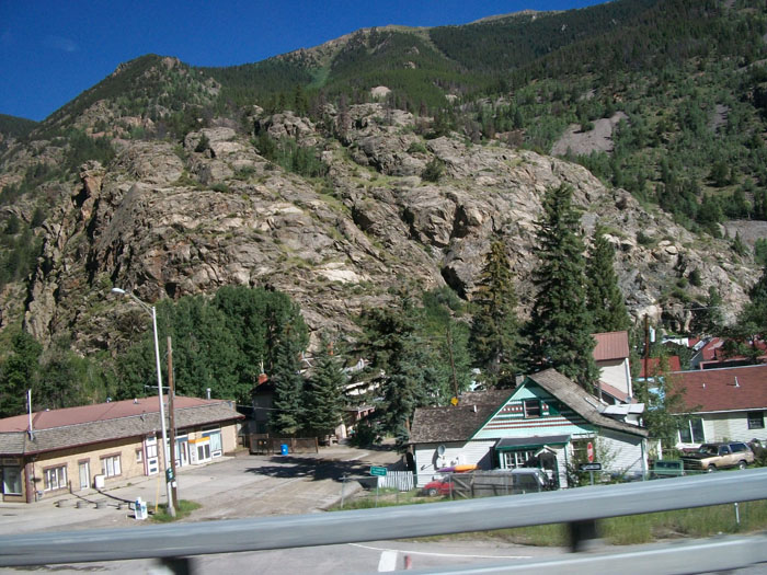
These little mountain villages are very colorful.
Another waterfall.
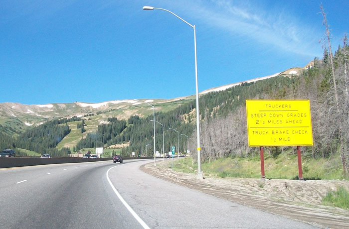
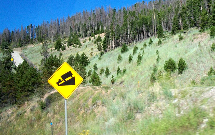
This is a sign warning truckers to check their brakes because of the "steep down grade 2 miles ahead." There were many truckers warnings on this road.
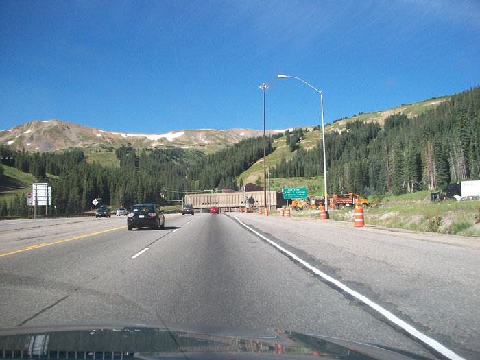
This was our first glimpse of the Eisenhower tunnel, so named for the president who created our interstate system.
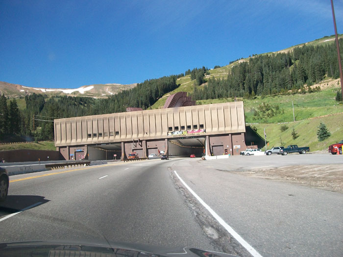
At nearly 2 miles in length, the Eisenhower tunnel is one of the longest in the world . It passes through the Continental Divide at 11,158 feet in altitude. It was our highest point enroute.
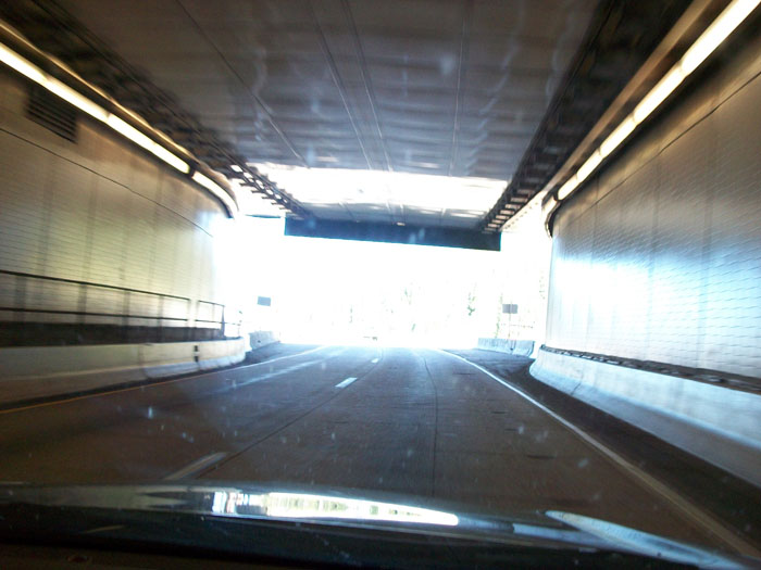
The tunnel curves with a slight grade.

The temperature remains fairly constant inside. Our car measured it at 61 degrees F.

The exit.
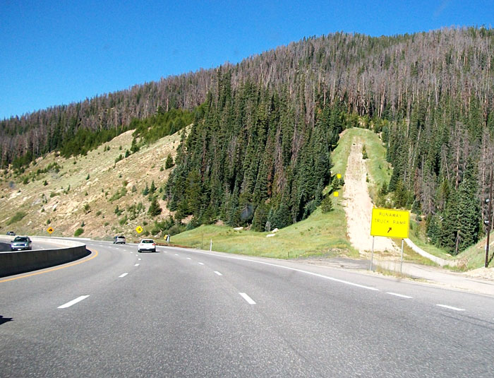
if trucker's brakes give way, there are ramps for emergency exits.
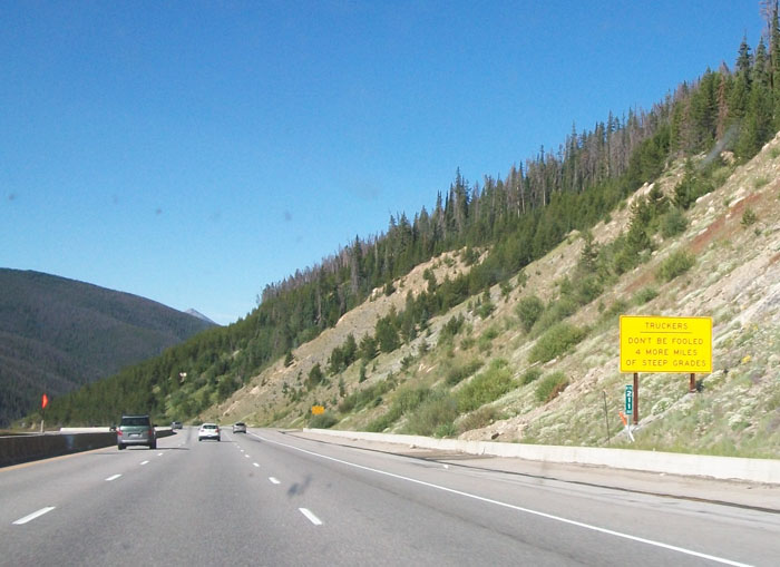
Some of the warning signs were humorous. This one says, "Truckers, don't be fooled. 4 more miles of steep grades." Another said, "You're not done yet. 1 more mile to go."
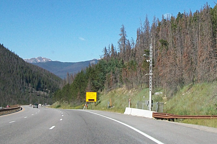
We saw 2 of these weather stations in the mountains mounted with cameras, wind, and other weather detection gear.
Self-explanatory.
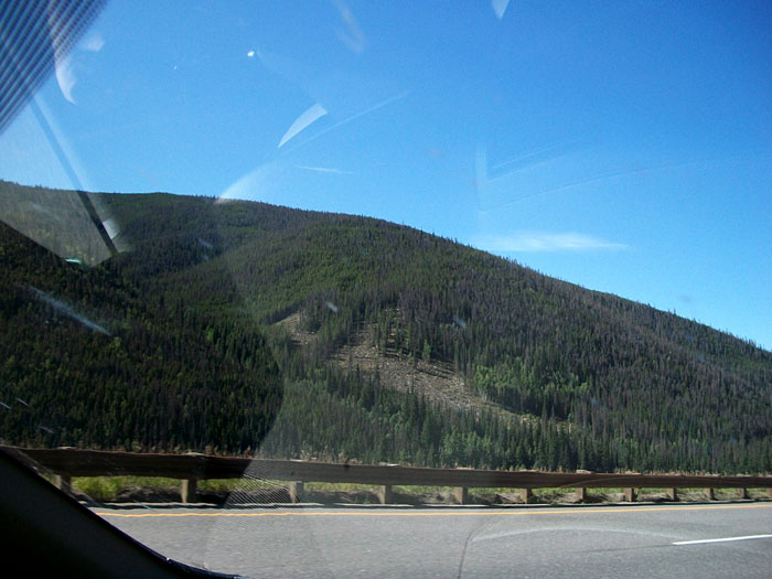
I reckon this bare spot must have been caused by an avalanche.
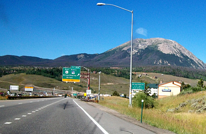
At Silverthorne the elevation had dropped to 8,790 feet.
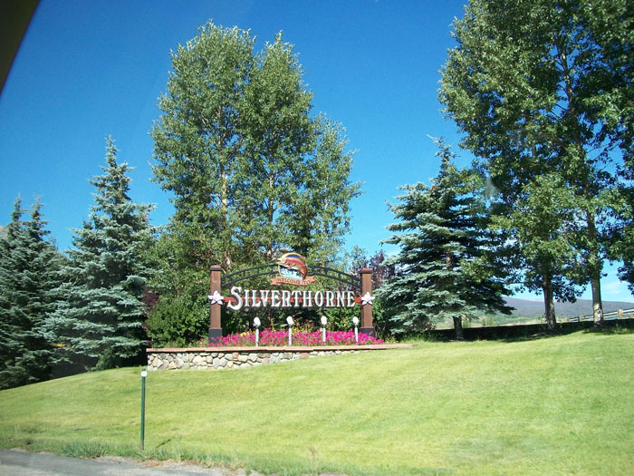
Nice sign.
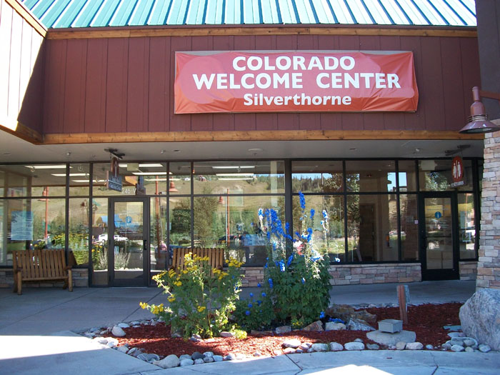
There was a very nice welcome center there.
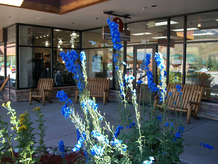
The mountains surrounding this shopping village were beautiful.

Linda was enthralled with the flowers outside the welcome center.
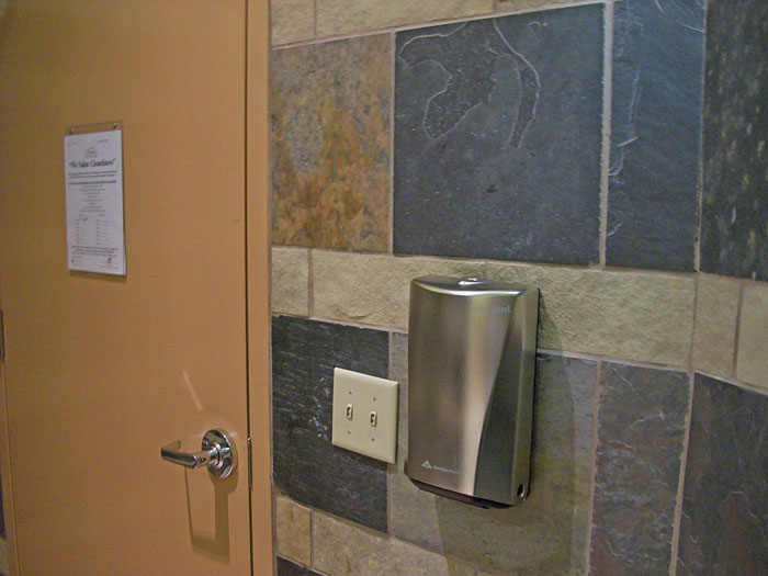
I was more anxious for another attraction.
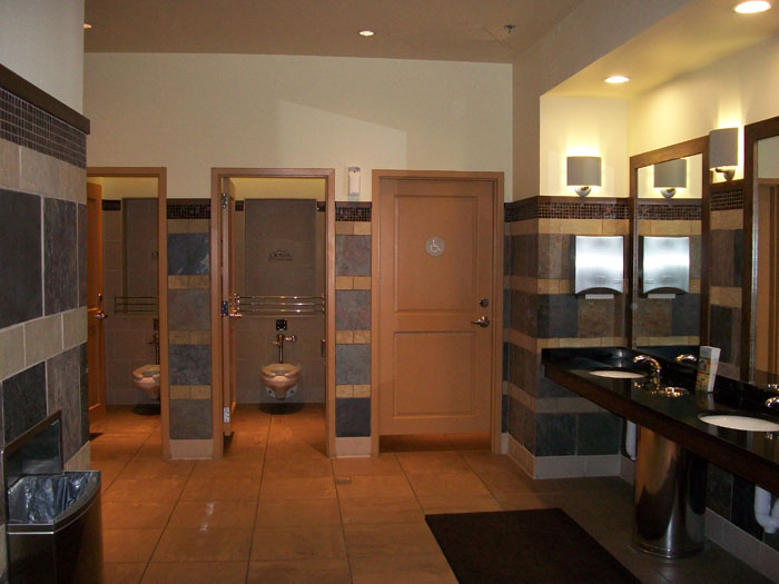
No, seriously. This restroom was cavernous and very modern. They even had a dispenser for little tissues with which to grab the door handle after washing your hands. Neat!
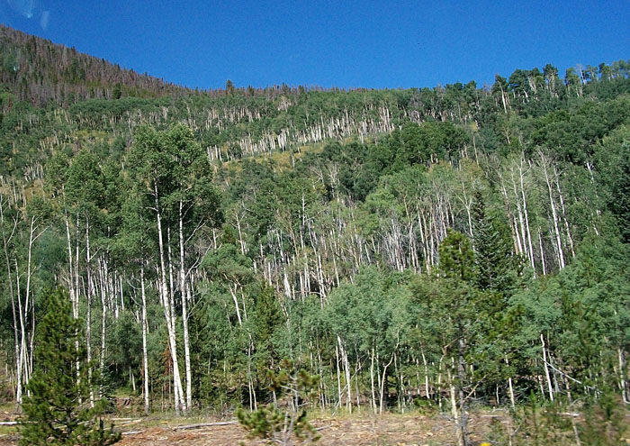
If you've never seen aspens, this is what they look like.
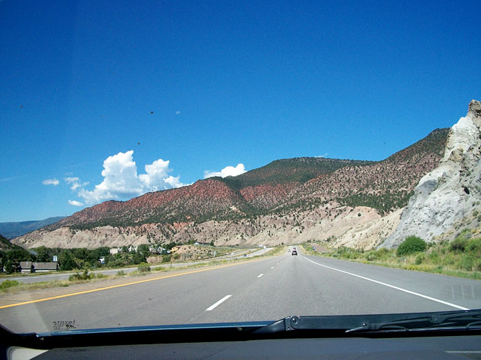
The mountains on the west side of the divide began to look more like desert.
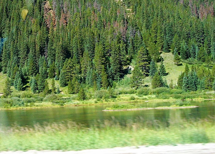
But there were still lakes, ponds, creeks, and rivers.
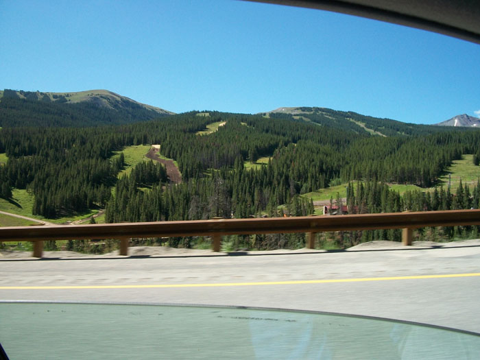
Here's what ski slopes look like without snow.
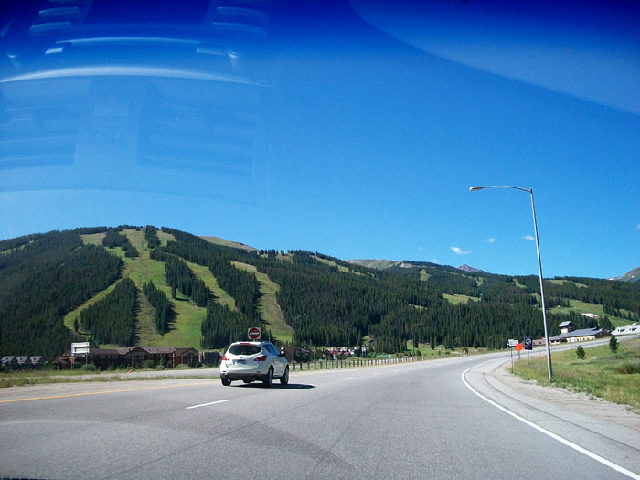
There were lots of ski slopes near Vail, CO.
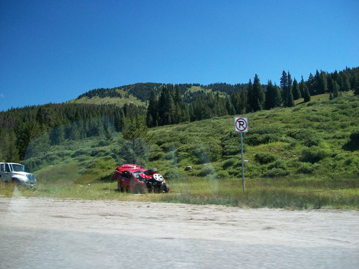
And here's what a car looks like after taking a tumble off the mountain.
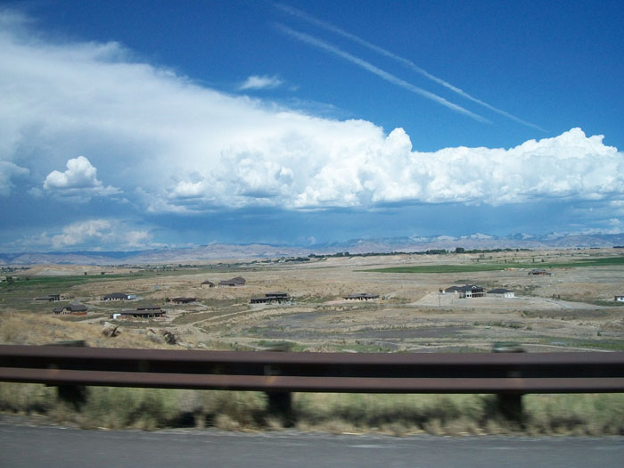
Like I said, it looks more like desert here.
(no comment)
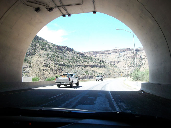
We passed through another tunnel.
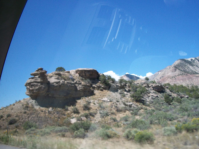
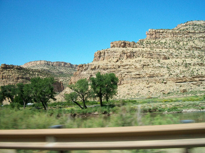
We thought this was an interesting rock formation.
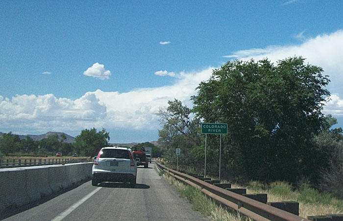
Can you guess the name of this river? I'll give you a minute (keep scrolling).
Another tunnel.
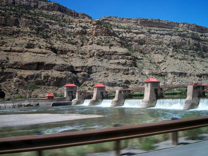
This river has dams on it for hydroelectric power.
But at times it seems rather lazy.
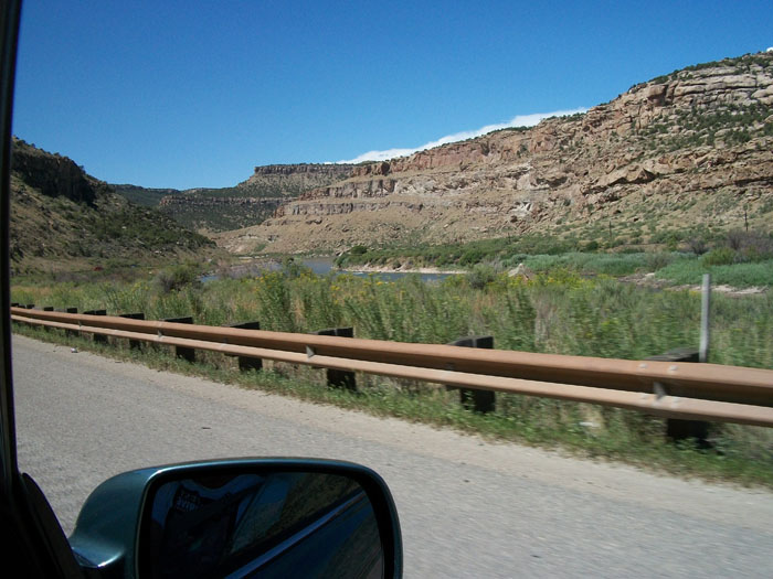
The river passed through some interesting countryside.
Yes, it's the mighty Colorado, the river that carved the Grand Canyon.
The farther west we travelled the dryer it began to look.

Can you see the boat ramp in the lower left portion of this photo?
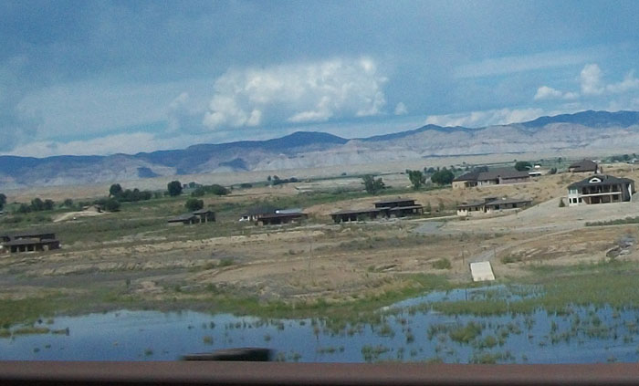
These folks bought "lake front" property. Too bad their lake dried up.
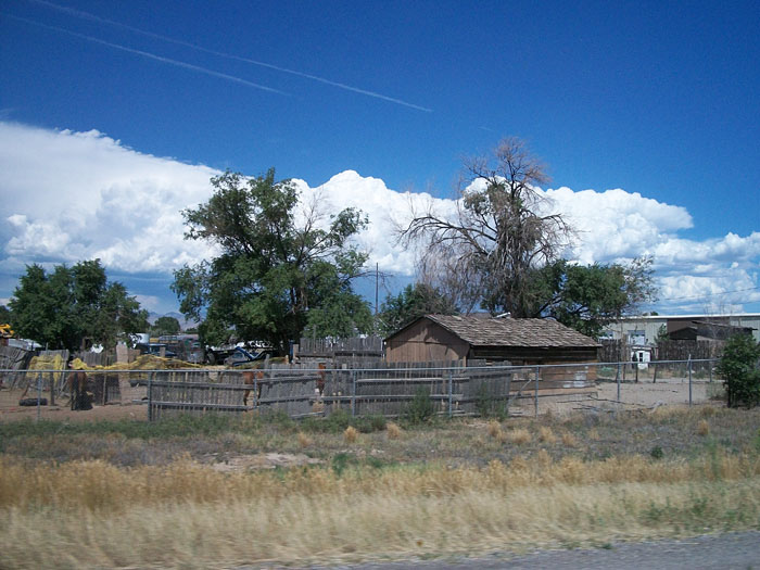
I don't even want to try explaining this one.
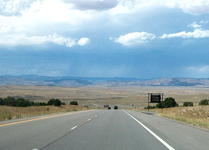
The sign says, "Leaving Colorful Colorado." Next up -- Utah.
There was a patio outside the breakfast room of the hotel we stayed at near Denver last night. So we ate breakfast outside. Before we left, I took a photo of this sign on the wall. We've read of wild animals attacking out here in the west.
The altitude began to increase. At Idaho Springs we were 7,540 feet up.
There are many tunnels on I-70. Some are rather famous.
To help keep cars from being crushed by falling rock they placed this wire netting over the face of the cliff.
We saw a lot of timber being used for buildings out here but this is the only place we saw timber stacked.
Here's what the finished product looks like.
Still going up. Georgetown is at 8,519 feet.
Because of icy roads much of the year, tire chains are required by law during certain months. This is called a "chain station" where drivers can pull off and install their chains.
We saw a couple of really pretty water falls. Since most of my photos were taken through the window of the car while travelling at highway speeds, please forgive the glare and car interior.
Still going up. Silver Plume is at 9,118 feet.
These little mountain villages are very colorful.
Another waterfall.
This is a sign warning truckers to check their brakes because of the "steep down grade 2 miles ahead." There were many truckers warnings on this road.
This was our first glimpse of the Eisenhower tunnel, so named for the president who created our interstate system.
At nearly 2 miles in length, the Eisenhower tunnel is one of the longest in the world . It passes through the Continental Divide at 11,158 feet in altitude. It was our highest point enroute.
The tunnel curves with a slight grade.
The temperature remains fairly constant inside. Our car measured it at 61 degrees F.
The exit.
if trucker's brakes give way, there are ramps for emergency exits.
Some of the warning signs were humorous. This one says, "Truckers, don't be fooled. 4 more miles of steep grades." Another said, "You're not done yet. 1 more mile to go."
We saw 2 of these weather stations in the mountains mounted with cameras, wind, and other weather detection gear.
Self-explanatory.
I reckon this bare spot must have been caused by an avalanche.
At Silverthorne the elevation had dropped to 8,790 feet.
Nice sign.
There was a very nice welcome center there.
The mountains surrounding this shopping village were beautiful.
Linda was enthralled with the flowers outside the welcome center.
I was more anxious for another attraction.
No, seriously. This restroom was cavernous and very modern. They even had a dispenser for little tissues with which to grab the door handle after washing your hands. Neat!
If you've never seen aspens, this is what they look like.
The mountains on the west side of the divide began to look more like desert.
But there were still lakes, ponds, creeks, and rivers.
Here's what ski slopes look like without snow.
There were lots of ski slopes near Vail, CO.
And here's what a car looks like after taking a tumble off the mountain.
Like I said, it looks more like desert here.
(no comment)
We passed through another tunnel.
We thought this was an interesting rock formation.
Can you guess the name of this river? I'll give you a minute (keep scrolling).
Another tunnel.
This river has dams on it for hydroelectric power.
But at times it seems rather lazy.
The river passed through some interesting countryside.
Yes, it's the mighty Colorado, the river that carved the Grand Canyon.
The farther west we travelled the dryer it began to look.
Can you see the boat ramp in the lower left portion of this photo?
These folks bought "lake front" property. Too bad their lake dried up.
I don't even want to try explaining this one.
The sign says, "Leaving Colorful Colorado." Next up -- Utah.