Our Trip West
On our way west from Georgia, we wanted to visit
some historic sites we've missed in previous vacations. Here's a
few photos from places we visited along the way.
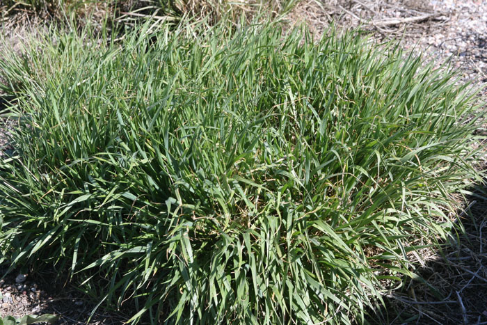
You've heard of prarie grass, I'm sure. Well, this stuff was all
over the place when we came out in April. According to old
history books, pioneers had to come west when during the months there
was enough forage for their animals or they draft animals would starve
and die. That really limited the months they could travel.
Pioneers also had to travel close to where their animals could get
water or they would die of thirst.
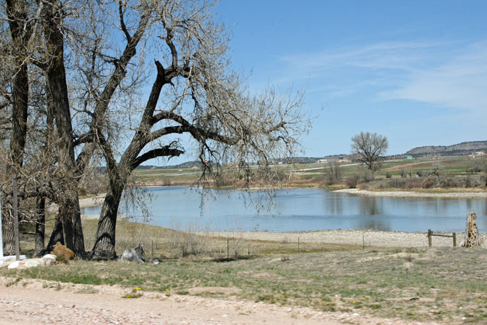
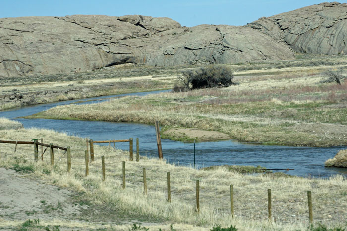
Most Utah pioneers and many California and Oregon pioneers followed the
North Platte River.
Here's what the North Platte looks like in Wyoming. It doesn't
look that muddy or deep in this
photo but, depending on the month, it was often trecherous to
travelers who had to cross it.
Of the often muddy North Platte, some said, "It's too thick to drink
and
too thin to plow!"
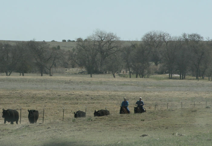
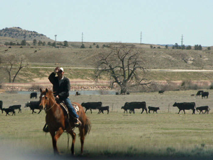
Remember Wyoming is cowboy country -- the real kind, not the kind you
see on TV.
These guys were riding the range except most of the range is fenced in
these days.
They let their cows graze during the day but they heard them toward the
coral toward
the evening.
This cowboy approached and we waved at him as we drove past...
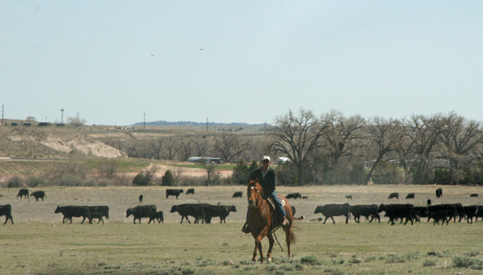
... so he returned the wave. Friendly folks out west.
Notice this cowboy isn't wearing
the traditional hat or boots. I asked some real-life cowboys
about that. They said
some still wear the old traditional hat and boots but most these days
just wear work
boots and baseball caps. It kind of spoils the image, doesn't it?
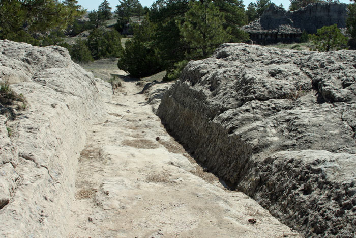
One remarkable fact along the Mormon-Oregon-California trails (yes,
they're the same in places),
are the ruts left by many thousands of wagon wheels from the
1840s until about 1870s when
railroads replaced wagon trains.
The rock is very soft here. You'll see examples later. As
thousands upon thousands of wagons
migrated west, ruts would appear. Rain, snow, and wind would
erode the rock further only to
be cut through again by more wagon wheels. In some places the
ruts are several feet deep!
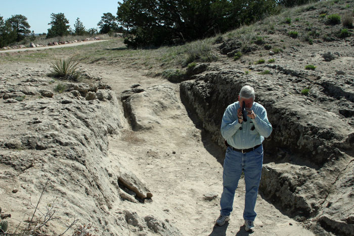
Here I am standing in the ruts with my video camera.
See how the top of the rocks are
almost up to my shoulders in places. Notice behind me where teh
rut on the left is cut
deeper into the soft rock. We would see that in places.
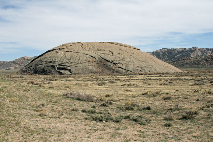
Here
one they call Independence Rock. It was a famous landmark to the
pioneers.
You'll see why they called this
one "Register Rock" or as the sign says, "Register Cliff."
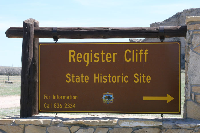
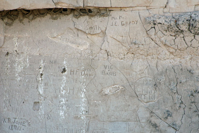
People have been carving their names in this rock for over 150 years!
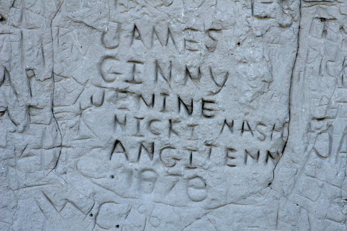
Here's a family who came through in 1878. They listed all their
names.
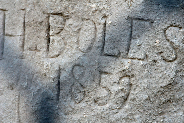
This is one of the earliest we found -- 1859. They protect the
early names with chain-link
fencing. That's the shadow you see. I blew this photo up so
you could see it more
clearly. See what I meant earier about how soft the rock is?
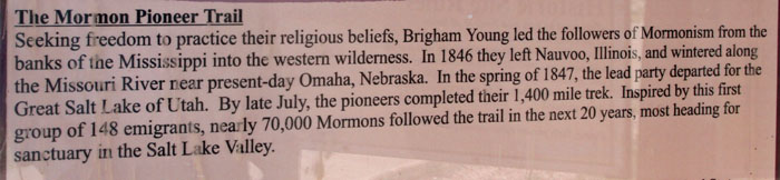
This sign marker tells how tens of thousands of Utah pioneers came west
along this route.
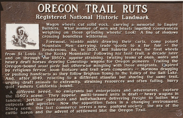
This sign tells a little more of the history of the trail. People
didn't always stick to the
same path. For instance, the Utah pioneers veered southwest
toward the Great Salt Lake.
Others went north toward Oregon. But most of the hundreds of
thousands who came
west, followed similar paths for hundreds of miles.
Among the most famous of trail markers was Devil's Gate, a cut in solid
rock through which
the Sweetwater River flows.
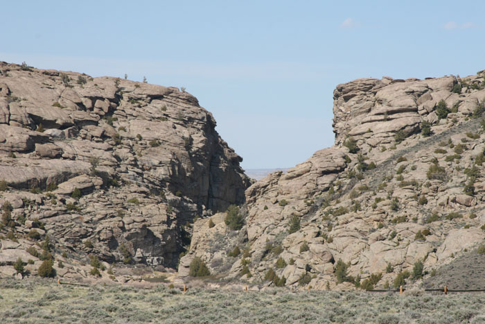
The early pioneers were grateful to see this aptly named river.
It was a pleasant change
from the North Platt for them and their livestock.
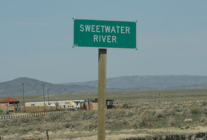
This small but deep river (in places) is the one the Martin handcart
company was too fatigued
to cross.
Most westward pioneers chose wagons as their preferred means of travel.
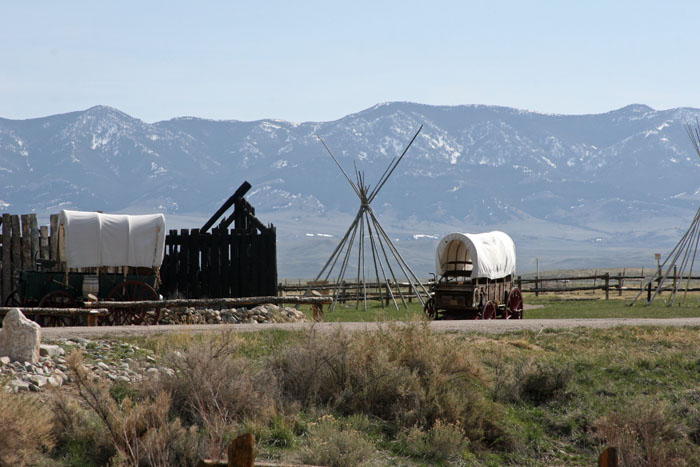
But thousands of them were too poor to afford a wagon and team.
For these, the solution
was to load what they could in a handcart and push or pull their
belongings over a 1000
miles to their destination. Most made the trip in safety.
Some did not.
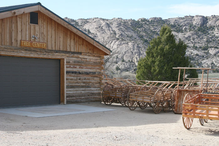
This is the saga of Martin's Cove which lies a few miles from Devil's
Gate. To remember
the sacrifice many of these handcart pioneers had to make, their
decendents and others
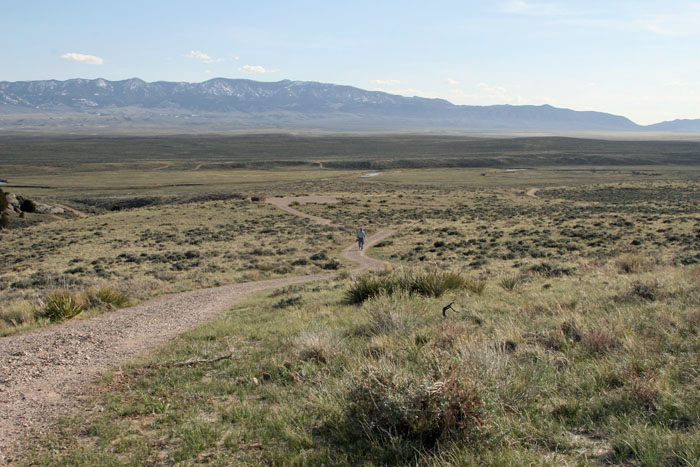
go on a "trek" here and elsewhere. Hundreds of latter-day saints
come here every summer
to join the "trek" where they can get up close and personal with their
ancestor's legacy.
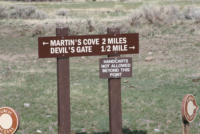
The trail was long (2 miles one way) but we thought we could make
it. Big mistake! We
were not used to the altitude that climbs over a mile high across the
continental divide.
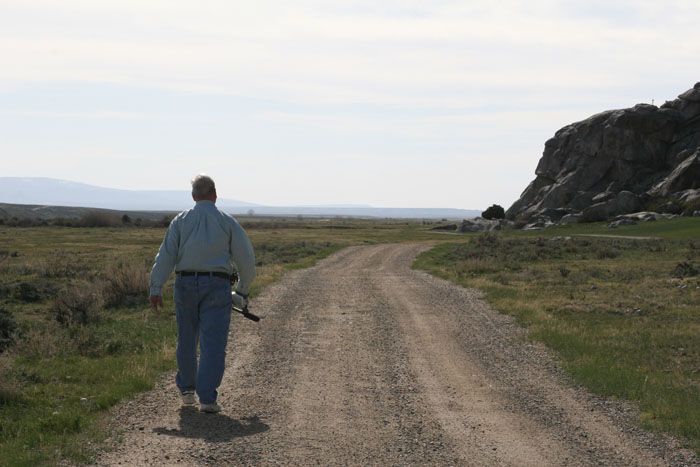
After walking over a mile, as out of shape as I was, I was ready to
trade the camcorder
for a ride (or even a drink of cool water). Fortunately, we found
both nearby.
What a refreshing sight!
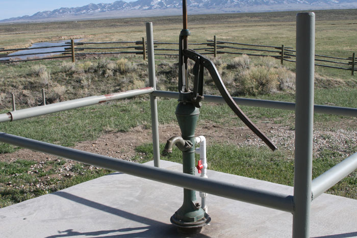
We were still only a little over half way there but fortunately we met
others. One of those
others turned out to be a gas powered cart. The driver was glad
to show us inside the
pump house where they stored drinking cups. After several cool
drinks, he gave us a lift
almost to our destination as far as he could. It was still a
dificult climb for us afterward.
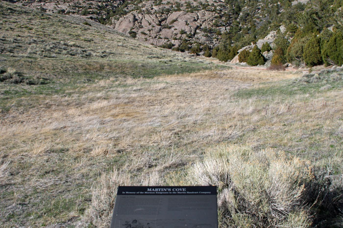
Here was the Martin Handcart Company's place of refuge. A cove is
what we'd call back
home a hollow (or holler, as country folks call it). Between the
hill to the left of this
photo and the mountain to the right, there's a dip that offered them
some protection
from the snow and freezing temperatures.
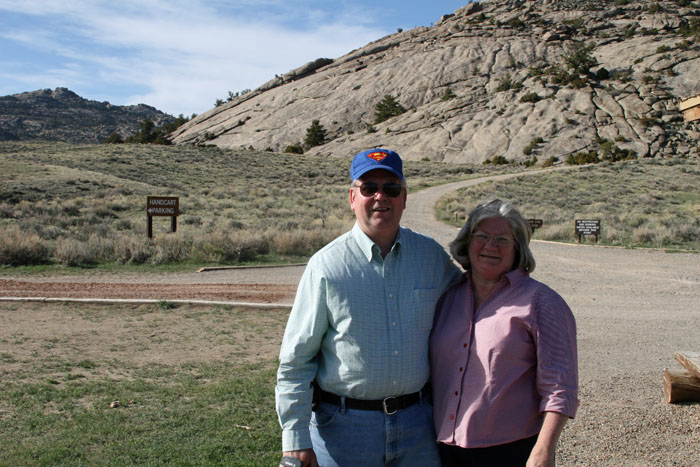
This was the end of the trail for many in the Martin Handcart Company
and for us as well,
in this photo essay anyway. Go back to the home page for other
photo links you can see.
Thanks for joining us on this trip and remember what sacrifices our
pioneer ancestors have
made to build the beauty and grandeur we now enjoy.
END